

Fox River flood plain Kane County homes are a question about one address, not one town. The river runs through the middle of St. Charles, Geneva and Batavia, and plenty of houses nearby sit well outside any mapped flood zone, while a house on lower ground a few blocks away may not. This guide is the buyer’s sequence for checking a specific house before the contract is final.
It is a realtor’s checklist, not insurance or engineering advice. If you are still choosing a town, start with the guides to living in Geneva and living in Batavia, then come back here with an address in hand.
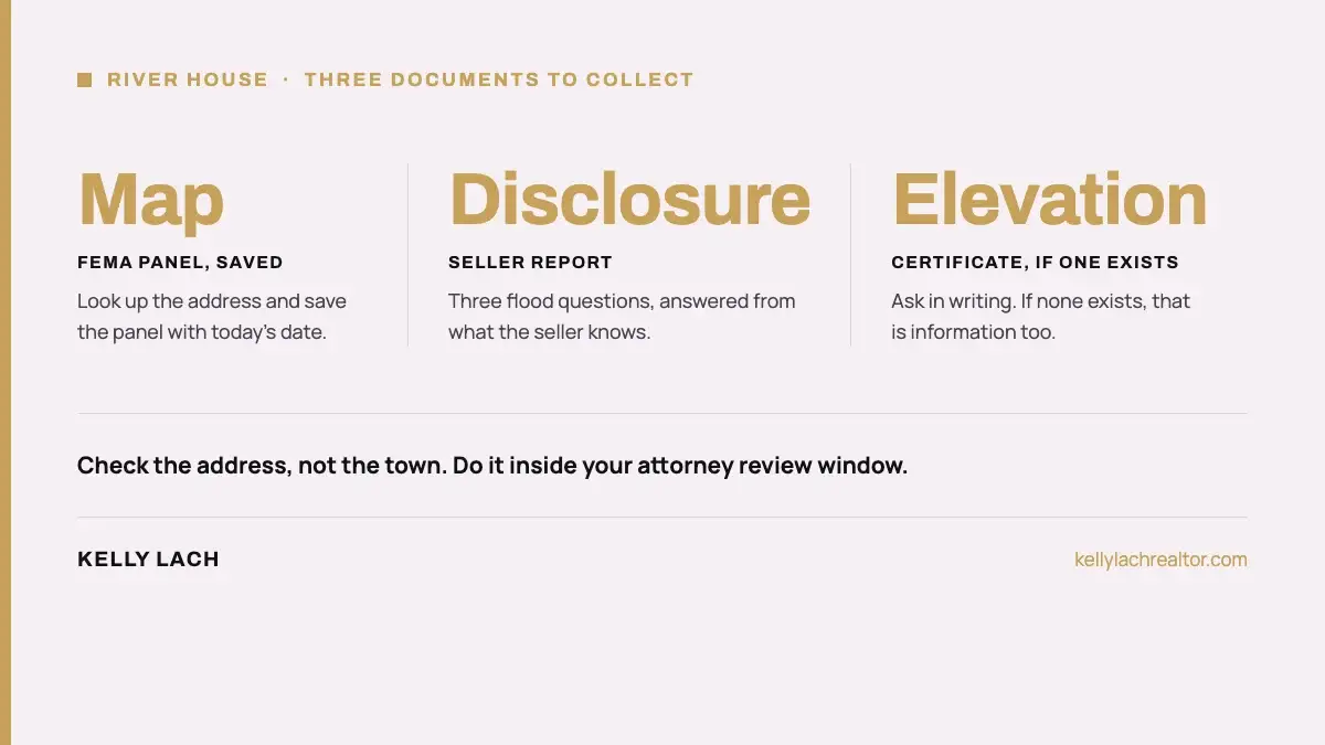
Start with the FEMA Flood Map Service Center. Type the address, and it returns the effective Flood Insurance Rate Map panel for that location. You can also use the National Flood Hazard Layer viewer to zoom in and export a one-page excerpt of the map, called a FIRMette, centered on the property.
Illinois keeps a county-by-county page of the same effective maps and mapping projects. Its Kane County page on Illinois Flood Maps links the effective products. Kane County Water Resources holds copies of current and historic FEMA maps and will produce a FIRMette on request, according to its floodplain information page.
| What the map shows | What it means for a buyer |
|---|---|
| Zone label starting with A | A mapped high-risk area. The lender requirement described below applies. |
| Zone X | Outside the high-risk area on the map. Lower risk is not no risk, and flood insurance is still available. |
| Lot versus structure | The map is drawn on land. A zone line can cross a lot, so ask whether the house itself is inside it. |
| Map date | Maps are revised over time. Note the effective date on the panel you print and keep it with your file. |
Print or save the panel, then write the address and the date you looked at the top. That page is the first document in your file.
FEMA and the National Flood Insurance Program, explained at FloodSmart, describe the rule this way: a house in a mapped Special Flood Hazard Area that secures a loan from a federally regulated or insured lender must carry flood insurance, and the lender notifies the borrower before closing. When it is required, the premium is usually paid through escrow along with your taxes and homeowner’s insurance.
Three practical points follow from that rule:
Your lender and insurance agent own the numbers. We do not guess at premiums here, because they depend on the structure, the zone and the coverage you choose.
The Illinois disclosure report is useful here, and it is more specific than most buyers expect. Under the Residential Real Property Disclosure Act, the statutory form asks the seller three flood questions: whether the seller currently has flood hazard insurance on the property, whether the seller is aware of flooding or recurring leakage in the crawl space or basement, and whether the seller is aware the property is located in a floodplain. “Aware” means actual knowledge, so the form records what the seller knows, not what the map says. That is why you check the map yourself.
| Document | Who has it | What it tells you |
|---|---|---|
| Seller disclosure report | The seller, through the listing agent | The seller’s answers on flood insurance, basement water and floodplain location |
| Elevation certificate | The seller, the insurer or the town, if one was ever done | The structure’s measured elevation against the map’s flood level, which insurers and lenders can use |
| Plat of survey | The seller or the title company | Lot lines, the building footprint and any recorded easements, including drainage |
| Letter of Map Change | The seller or the county, if one exists | An official change to how the map treats a specific property or structure |
If a document does not exist, that is information too. Ask in writing, through your agent, and keep the answer.
A home inspection is not a flood study, but it can put a water-handling checklist in front of you. Ask the inspector to look at and describe:
Then ask the seller directly whether water has ever entered the lowest level and what was done about it. The disclosure form asks, but a plain question during a showing or through the listing agent adds detail the form does not.
The Fox River runs through all three downtowns, and the river corridor shapes the lots next to it. Creeks and drainage channels that feed the river add lower ground farther out. This is geography, not a ranking of anywhere. The only reliable way to place a house is the map and the town’s own records.
If you are also weighing a new build, the same check applies to the lot: the plat and the map, in the same order. For house hunting, you can search Geneva homes for sale on the live listing page, and the St. Charles neighborhood guide covers the downtown riverfront from the lifestyle side.
You still have choices, and the order matters.
The blunt version: search this topic and you get flood news and government buyout programs. Nobody tells a buyer standing in a Geneva living room how to check this house before the contract is final. Look up the address, read the lender rule, ask for the three documents and put the dates on a calendar. That is the whole job.
Fox River flood plain Kane County homes are not a reason to avoid a house. They are a reason to check the address the same way every time. If you would like a local agent to run that sequence with you on a specific listing, a short conversation about your timeline is the place to start.
Kelly Lach is a Top 3% agent and St. Charles resident who walks buyers through the river-corridor checks across St. Charles, Geneva and Batavia. Call 630-674-0424.
The flood zone is one surprise a river-side buyer can plan for. The other is the first tax bill, which is explained in your first Illinois property tax bill after buying.